Home
About the Project
Discover Amlwch Active Travel, About the Project . Have your say today and share your views on the future of your community. Powered by Commonplace, the leading community engagement platform.
About the Project
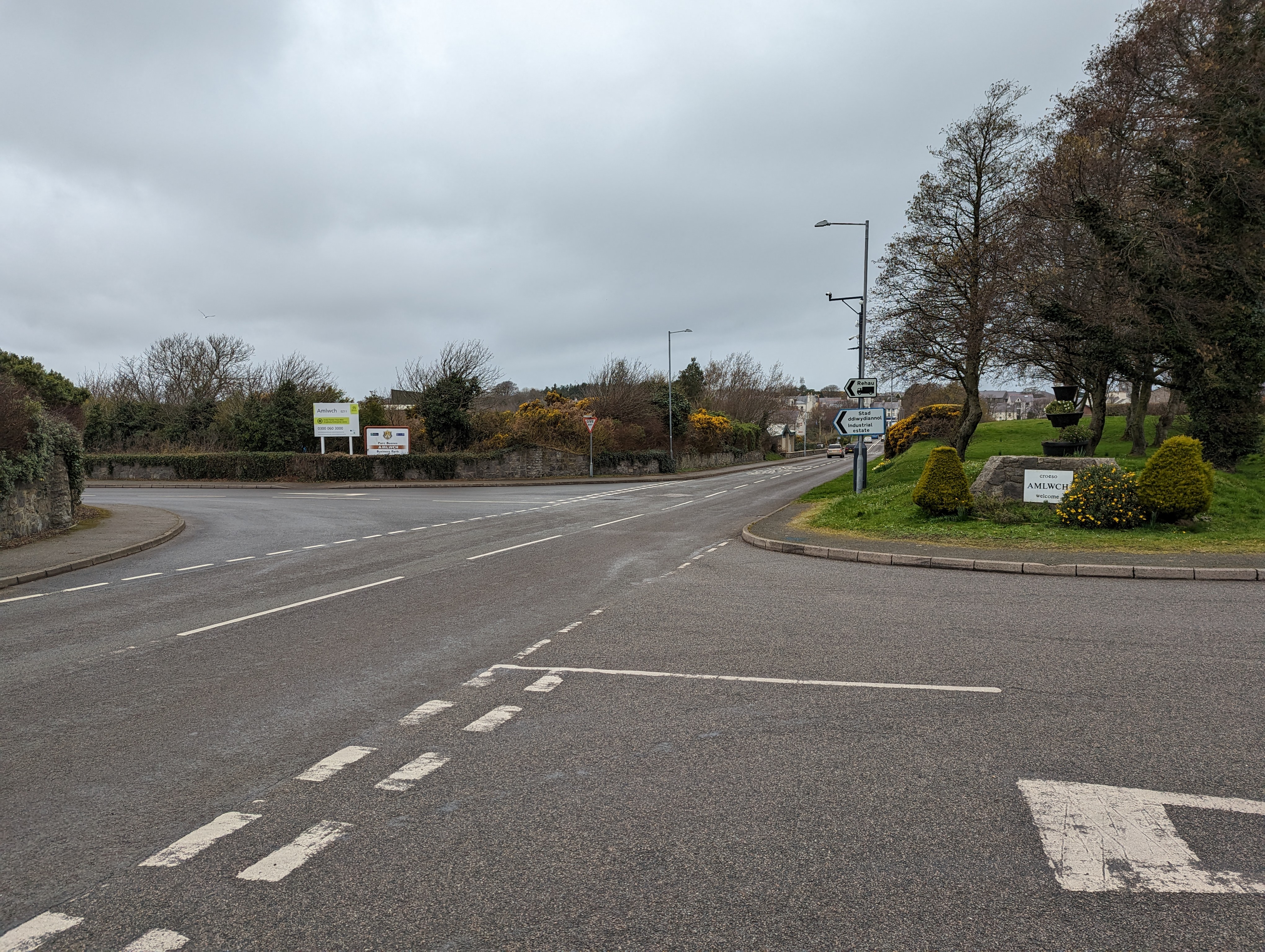
We are reviewing active travel options to improve the walking and cycling environment for residents and visitors in Amlwch. This study builds on previous studies which identified six active travel corridors for improvement. These connect the key destinations around Amlwch town centre, including the secondary school, leisure centre, Amlwch Industrial Estate, and Amlwch Port. The overall aim of the project is to maximise opportunities for people to travel by sustainable modes within Amlwch.
Click through the contents list below for further information on the proposed improvements at each corridor and view plans for each.
- Summary (About the Project)
- Corridor 1: Ffordd Tanybryn
- Corridor 2: B5111 between Ffordd Tanybryn and Red Shell Roundabout
- Corridor 3: A5025 between Red Shell Roundabout and Mona Street (and along Salem Street)
- Corridor 4: Ffordd Madyn and Machine Street (towards Amlwch Port)
- Corridor 5: Amlwch Industrial Estate
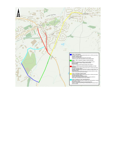
See below an overview map outlining the corridor extents in Amlwch.
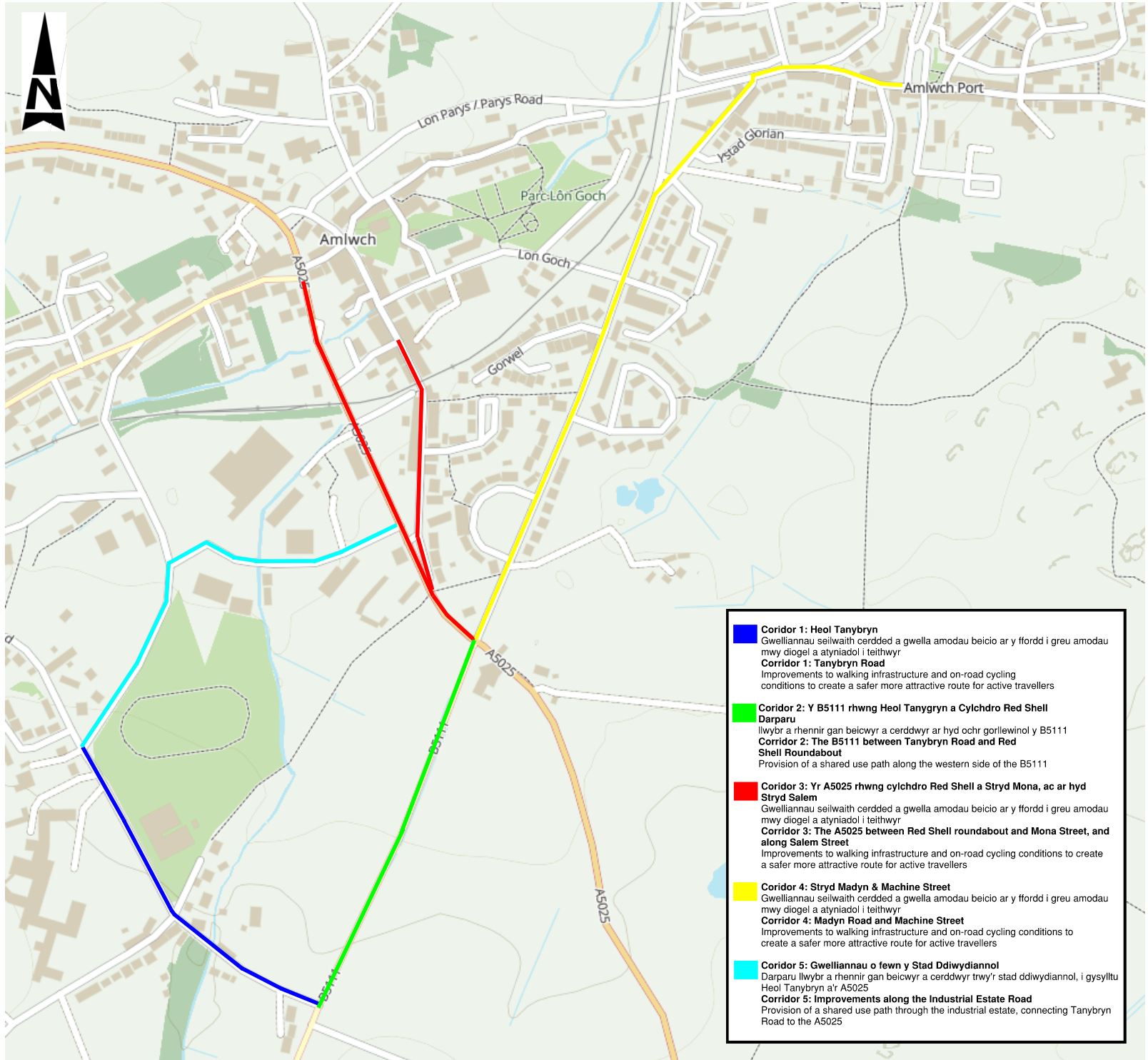
Click below to view PDF of overview map
Page break
About the Project (Summary)
Welsh Transport Appraisal Guidance (WelTAG) Stage One and Two studies were undertaken between January 2022 and January 2023. These studies focused on identifying solutions to sustainable transport barriers and challenges in Amlwch.
The aim of the scheme is to improve the walking and cycling environment for residents and visitors in Amlwch and to connect the community with green spaces.
The studies identified an extensive list of problems which include:
- The highway network dominates Amlwch. There is limited active travel infrastructure provision.
- Lack of competitive sustainable travel options.
- Spatial constraints to deliver new infrastructure.
- Lack of safe and suitable crossing places.
- Reliance upon the private car with a lack of connectivity to key destinations.
Scheme objectives were subsequently defined in order to ensure that any proposed solution addresses the identified problems.
The objectives for the Scheme are:
- To promote and prioritise active travel journeys and provide opportunities for healthier lifestyles.
- To provide direct links between key destinations and communities.
- To provide active travel routes which minimise adverse impact on the environment.
- To create attractive, comfortable routes which are accessible to all users.
- To create a safe and cohesive community for all transport users.
- To make Amlwch a more attractive place to live, work and visit, helping create a more prosperous and resilient community.
Proposed Improvements
The proposed improvements have been identified based on a review of the existing challenges in Amlwch, concerns raised by residents during consultations, and alignment with policies and objectives.
Page break
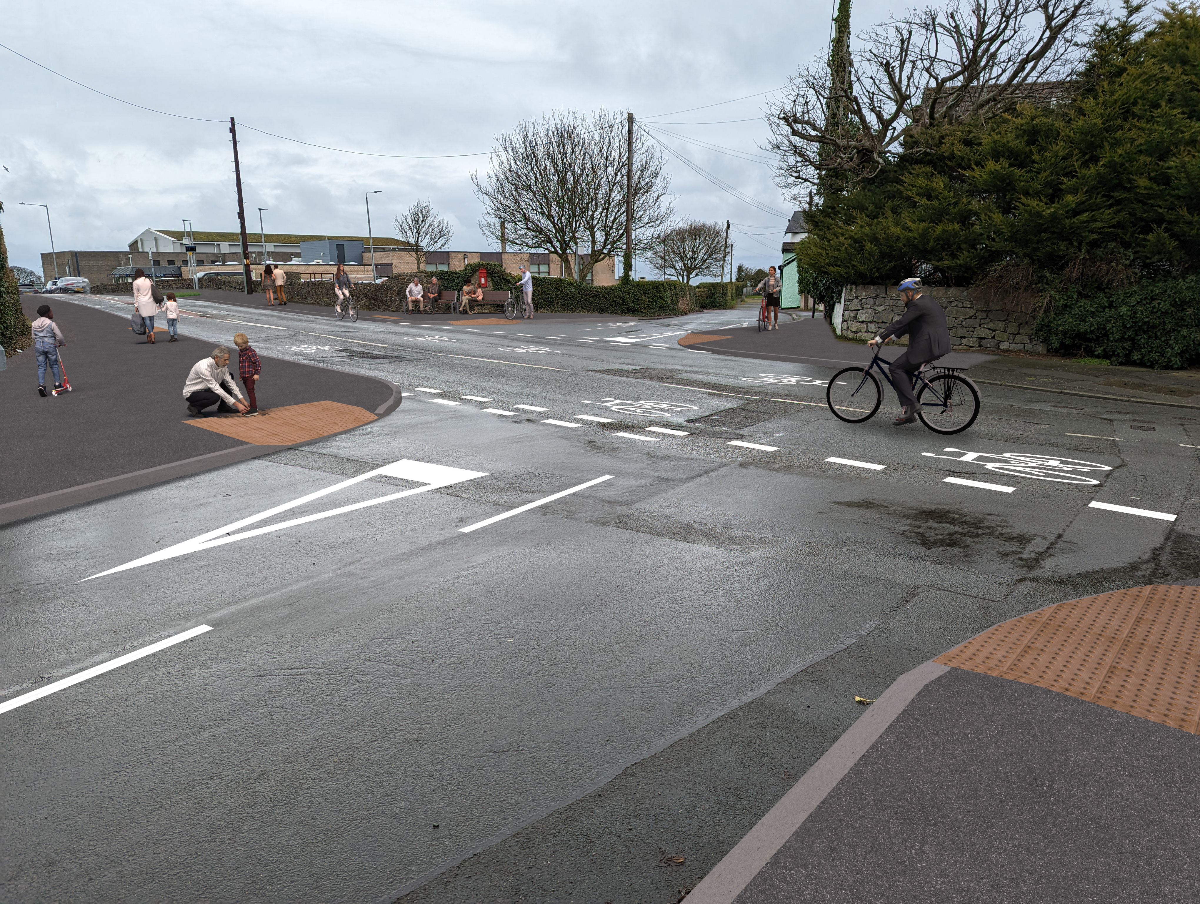
Corridor 1: Improvements to walking infrastructure and on-road cycling conditions along Tanybryn Road.
The emerging preferred option for this road is to improve on-road conditions to encourage an increase in cycle use within existing highway, and also creating a safer more attractive route for active travellers. This is done by:
- Introducing traffic calming measures to lower traffic speeds
- Amendments to road markings and signage to increase presence & priority of cyclists on the carriageway; and
- Footway improvements, including provision of dropped kerbs & tactile paving to encourage walking;
General arrangement drawing showing the proposed active travel improvements along Corridor 1 (Ffordd Tanybryn).
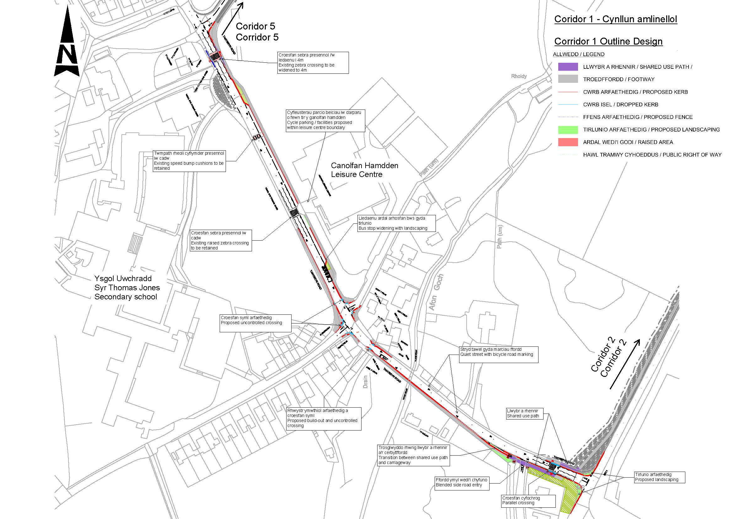
Click below to view PDF for Corridor 1
Page break
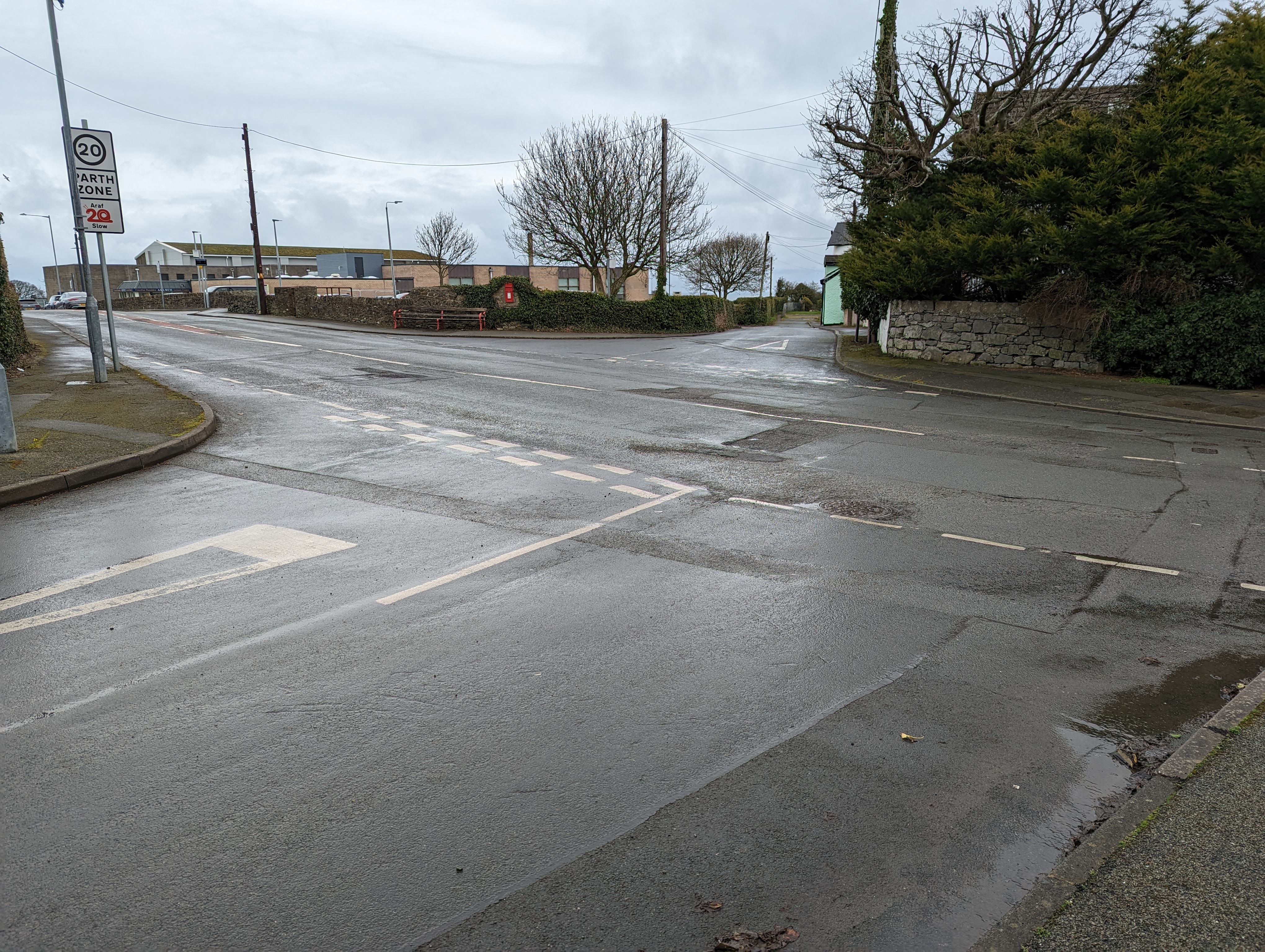
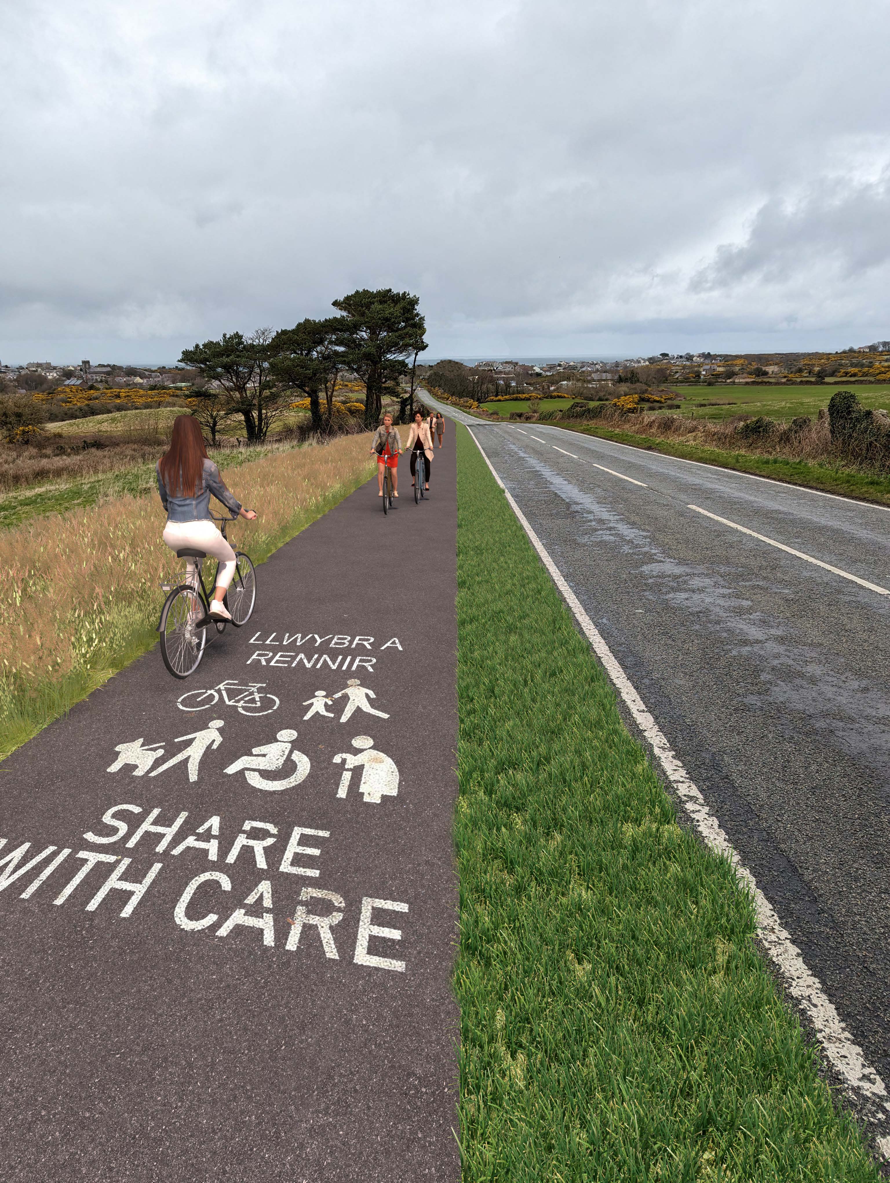
Corridor 2: Provision of a shared use path along the western side of the B5111
The emerging preferred option for this road is to separate pedestrians and cyclists from motor traffic through the provision of a shared-use off-carriageway path. This would be done by:
- providing a 2.5m wide shared-use path along the western side of the B5111;
- including a shared use path would be separated from the carriageway by a 1m wide grassed verge;
- amending the layout of Red Shell roundabout at the northern end of the route to be more compact, which provides more space for shared use path.
The ability to deliver these improvements is dependent on acquiring third-party land.
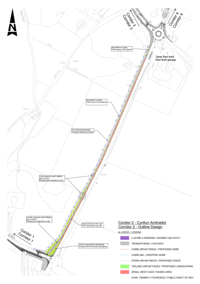
General arrangement drawing illustrating the proposed active travel improvements along Corridor 2 (B5111).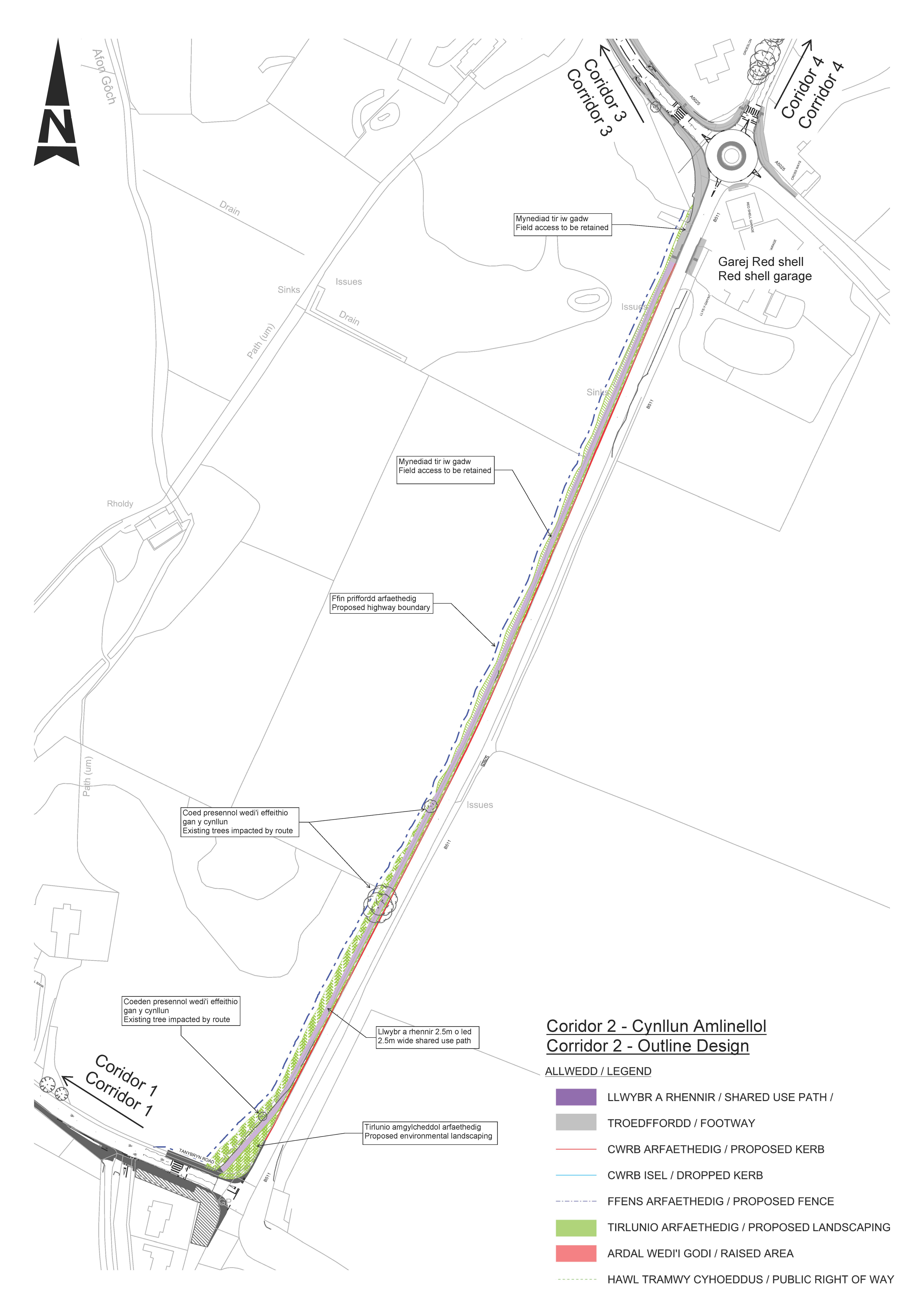
Click below to view PDF for Corridor 2
Page break
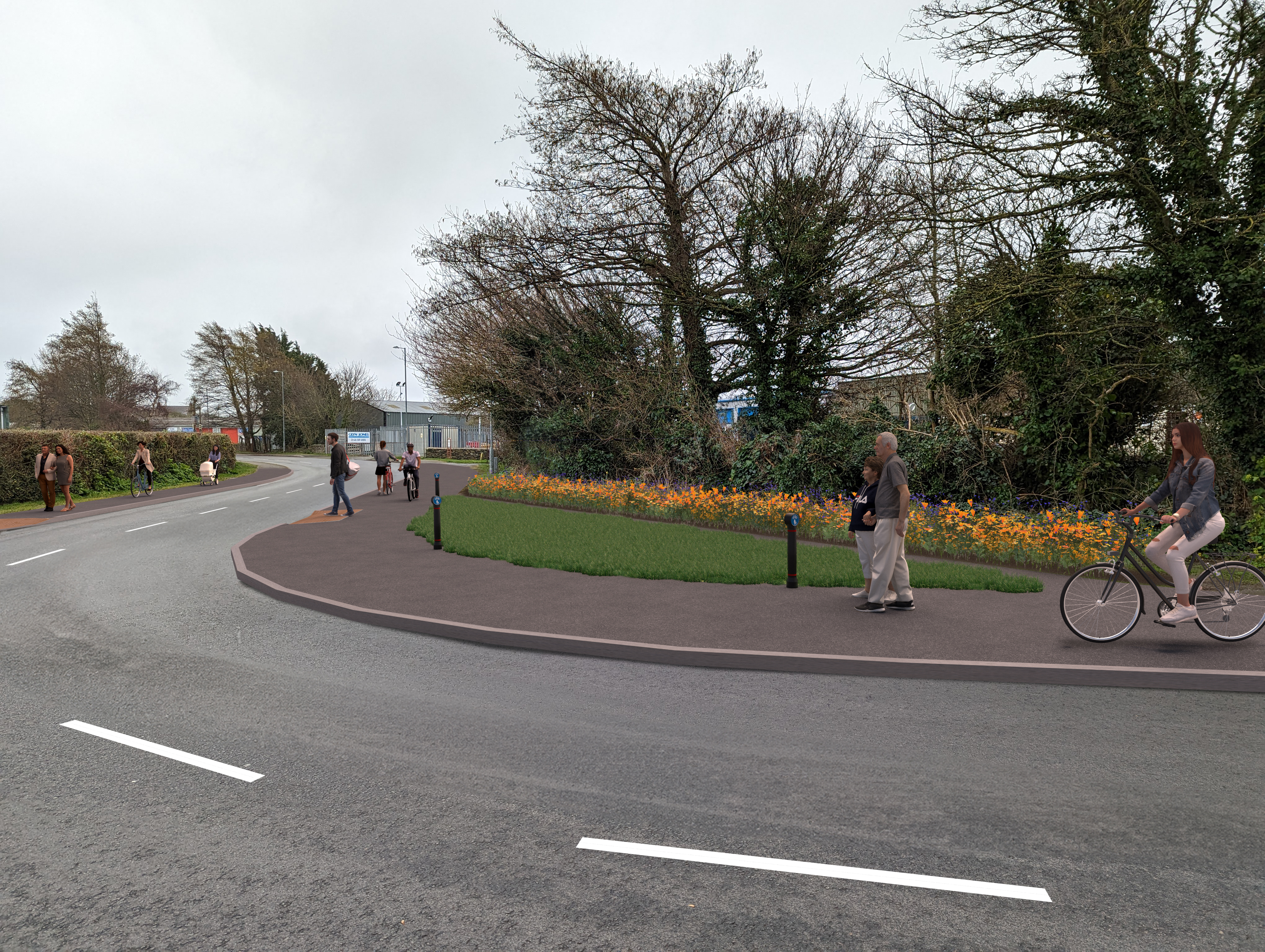
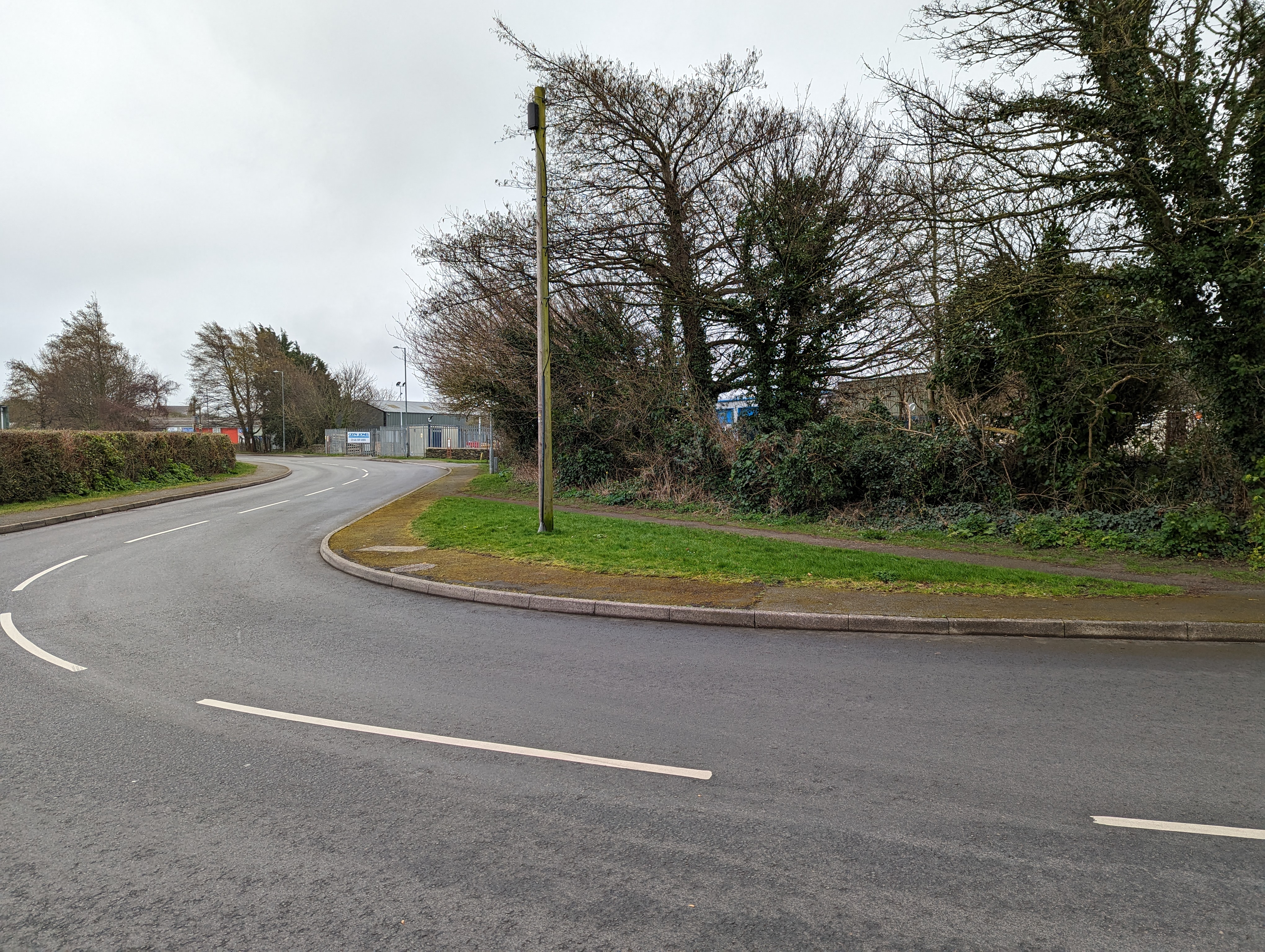
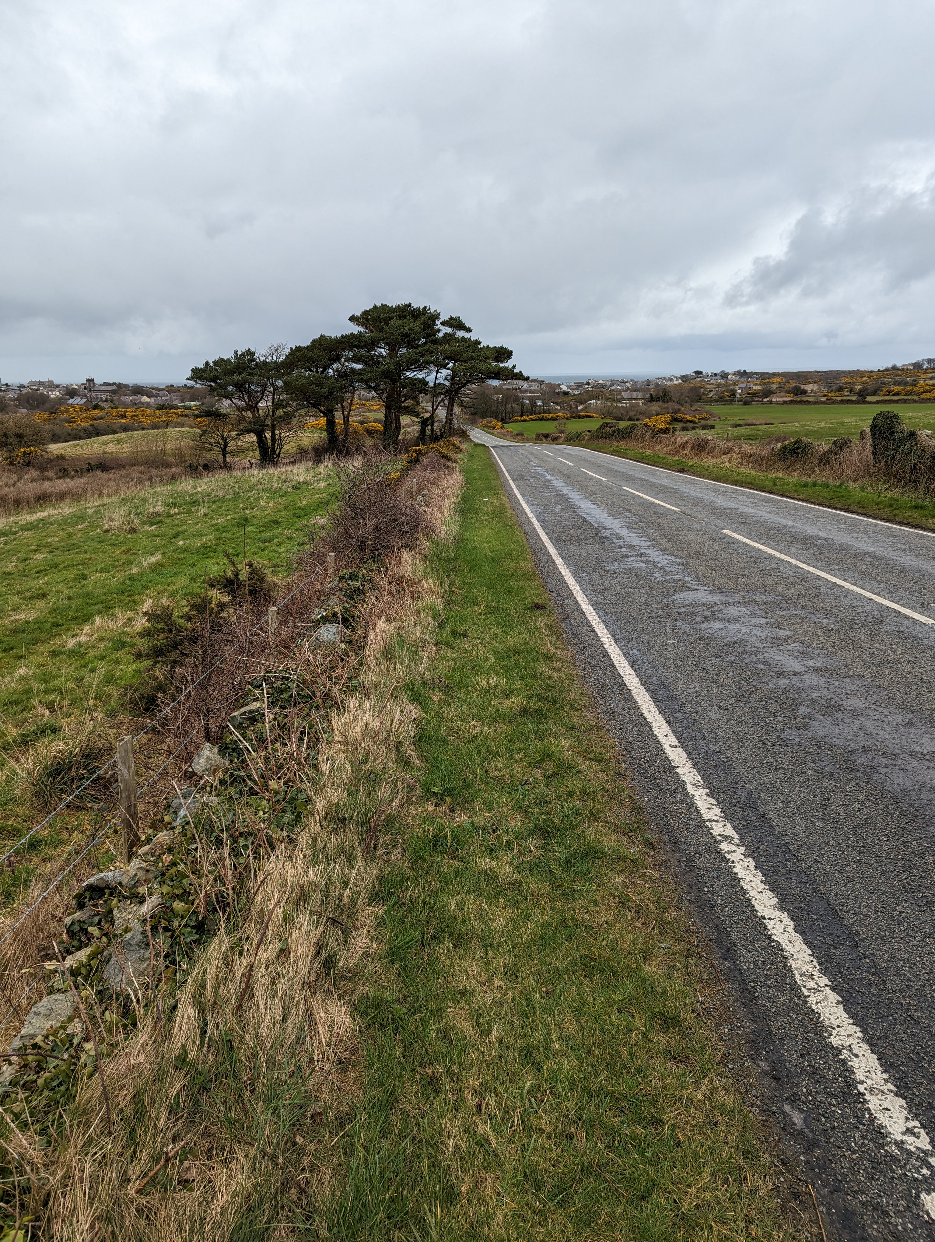
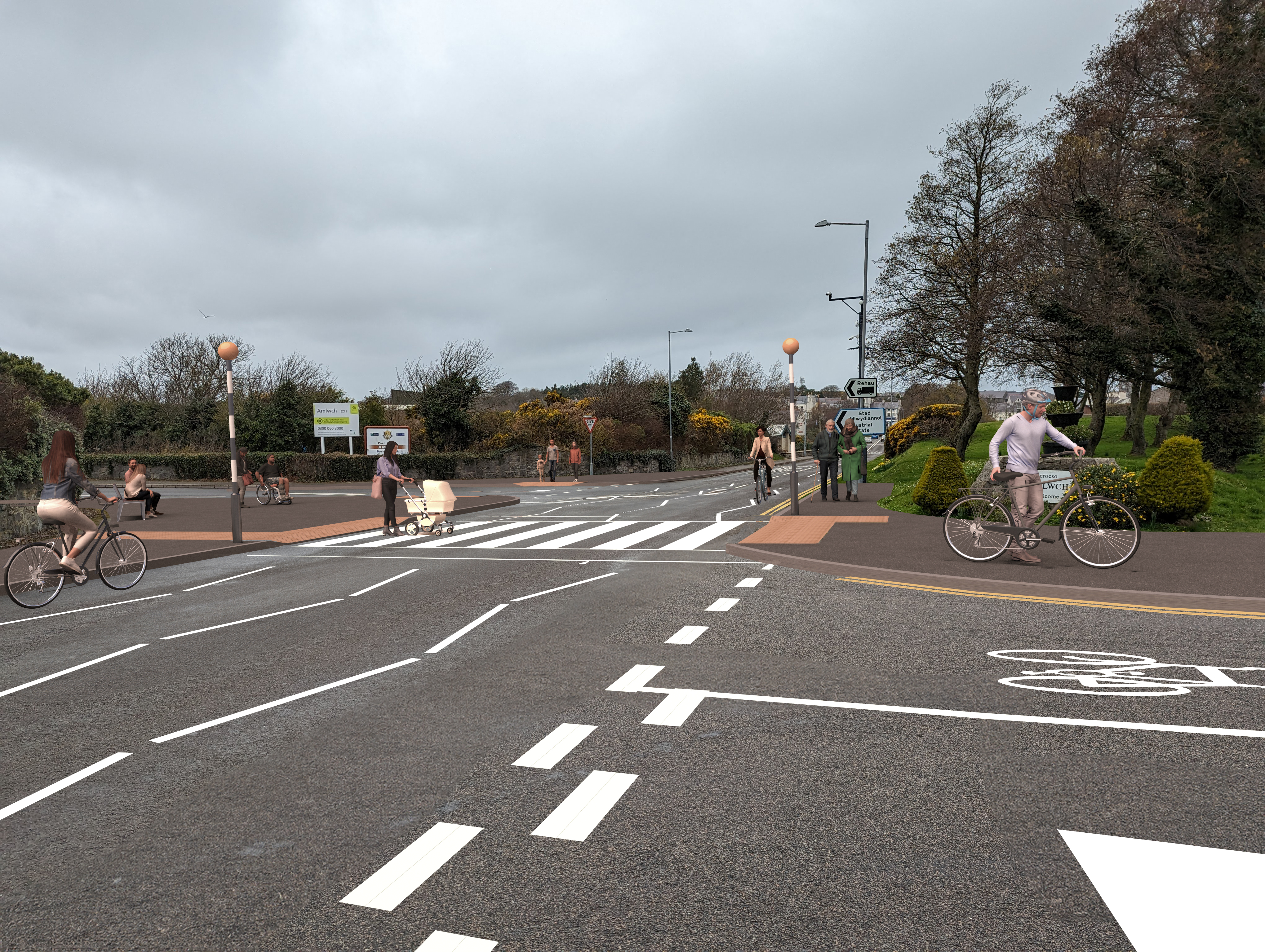
Corridor 3: Improvements to pedestrian and on-road cycling conditions along the A5025 between Red Shell roundabout and Mona Street, and along Salem Street.
The emerging preferred option for this road is to improve on-road conditions to encourage an increase in cycle use within existing highway, and create a safer more attractive route for active travellers. This is done by:
- reducing the width of the industrial estate access junction. This encourages lower vehicular speeds when entering and exiting the industrial estate, and narrows the crossing distance for those crossing the road;
- providing footway improvements, including provision of dropped kerbs & tactile paving;
- providing advisory cycle lanes in carriageway and removal of central road marking;
- reducing side road junction widths. This encourages lower vehicular speeds when entering / existing side roads. This also reduces the crossing distance for those crossing the road;
- narrowing of carriageway on Salem Street to increase footway width on western side;
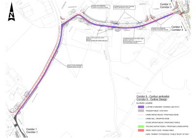
General arrangement drawing illustrating the proposed active travel improvements along Corridor 3: A5025 between Red Shell roundabout and Mona Street (including Salem Street).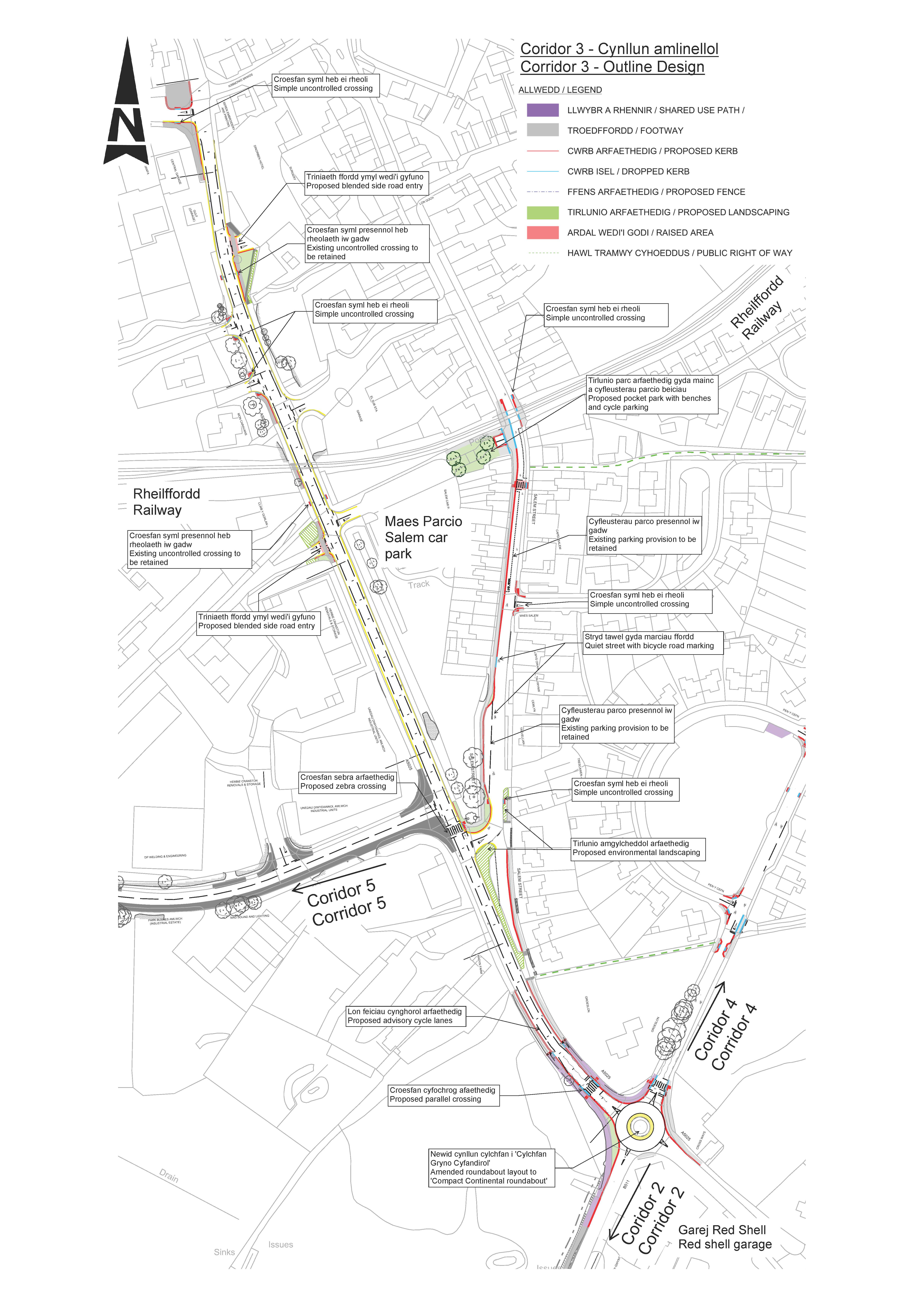
Click below to view PDF for Corridor 3
Page break
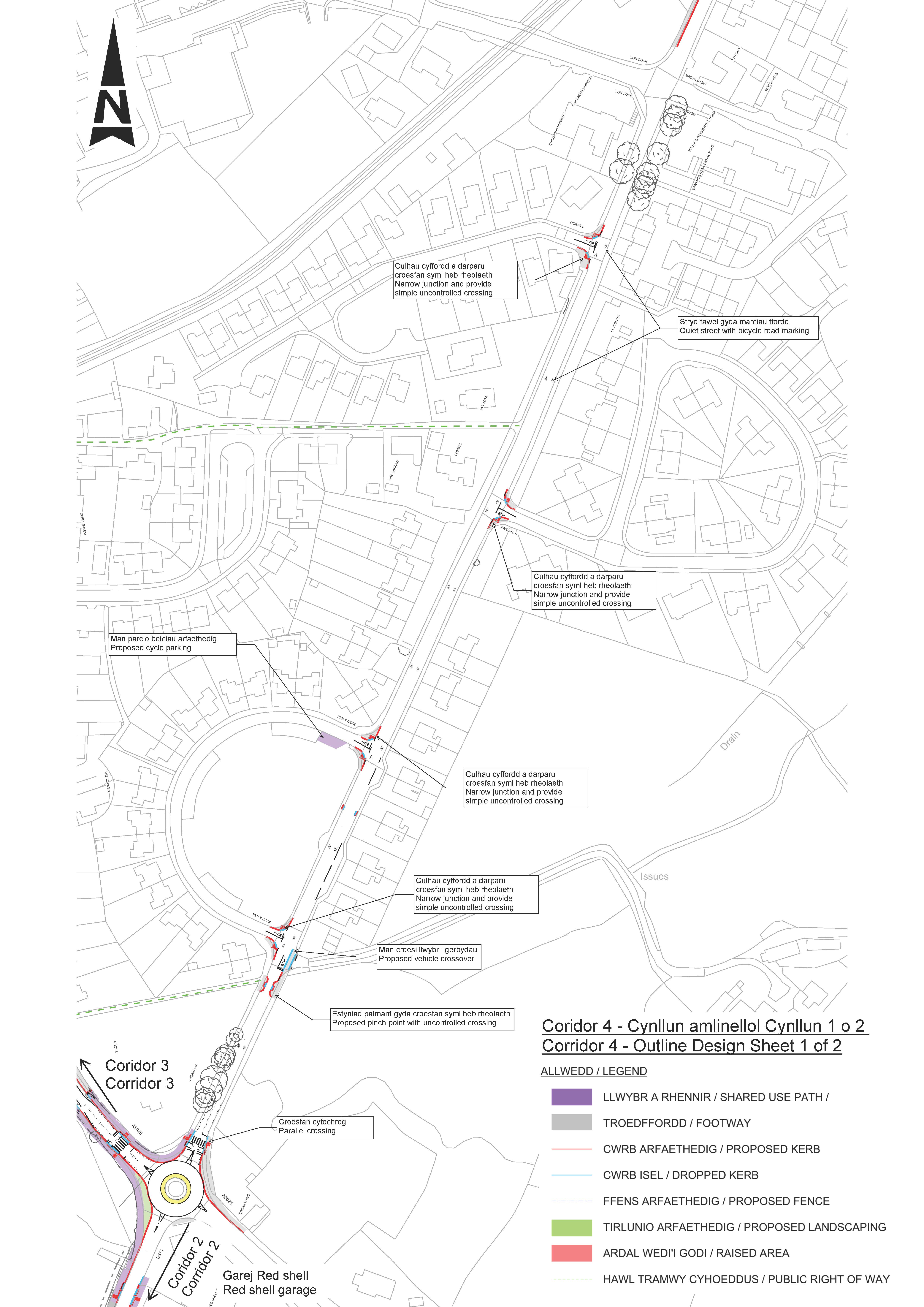
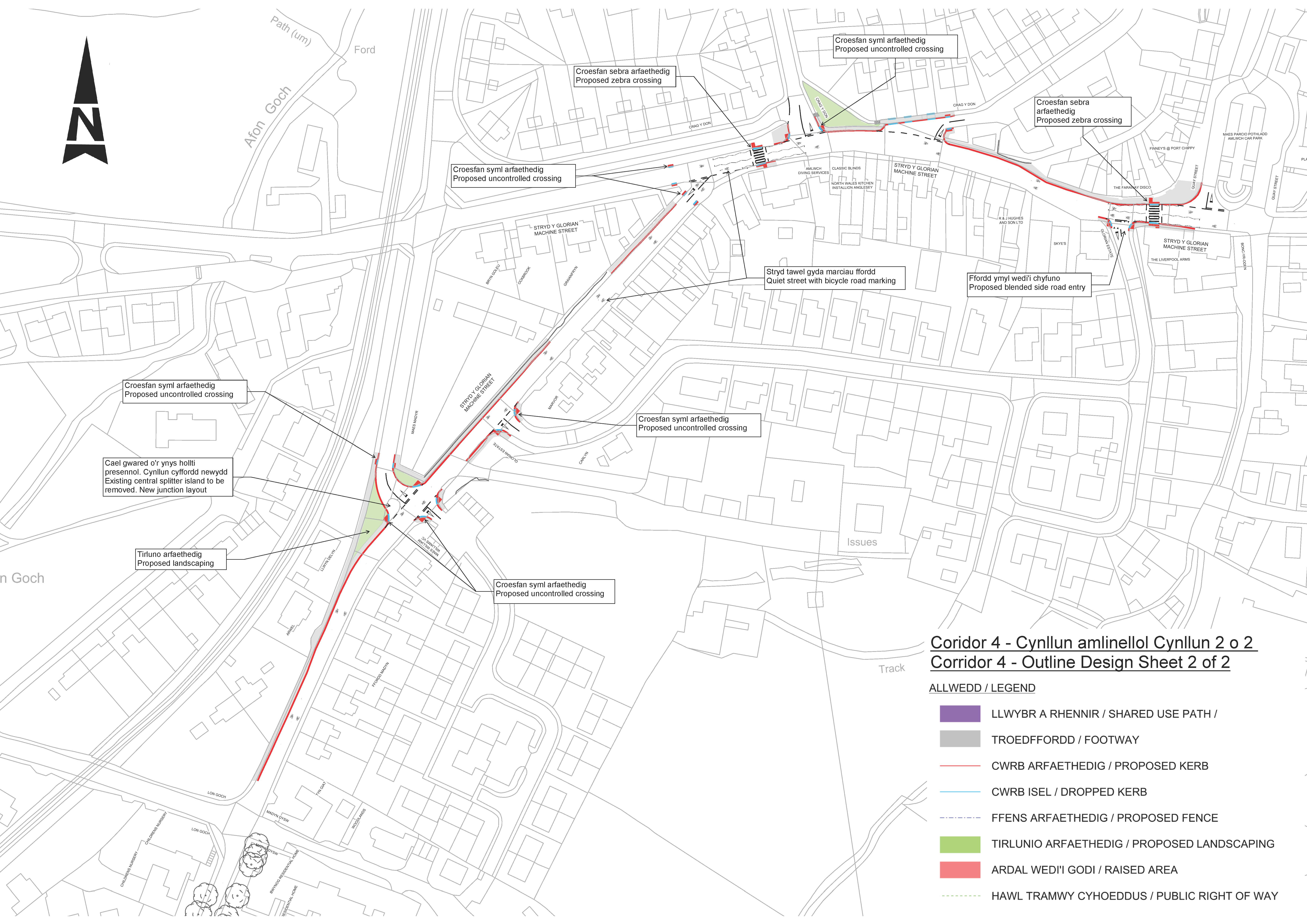
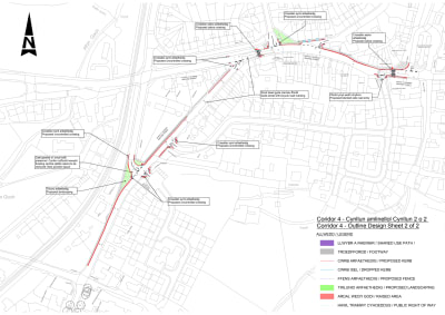
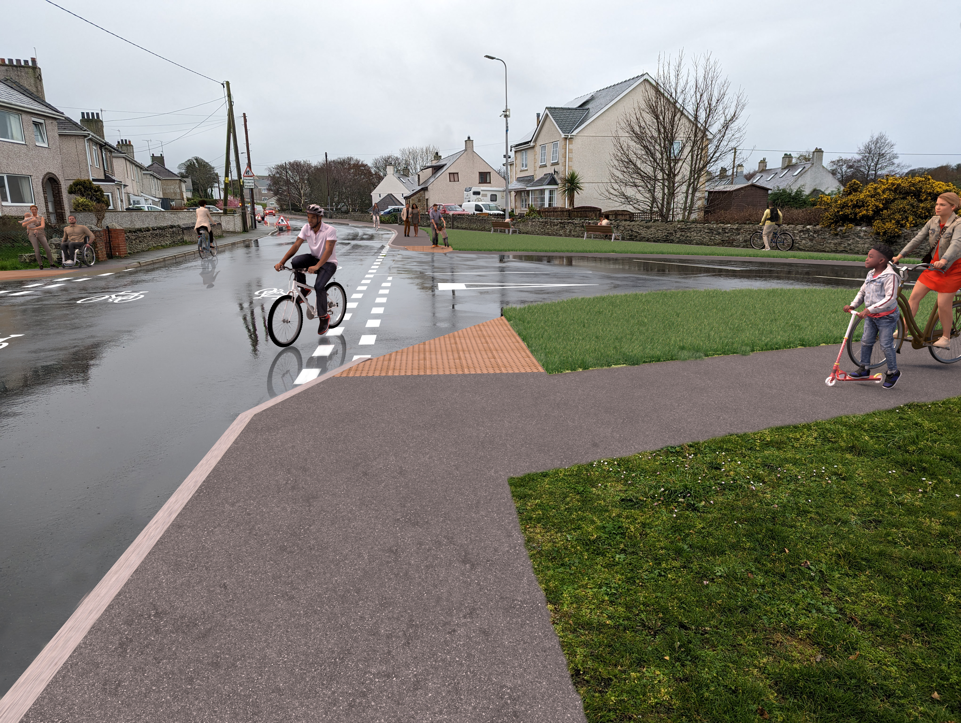
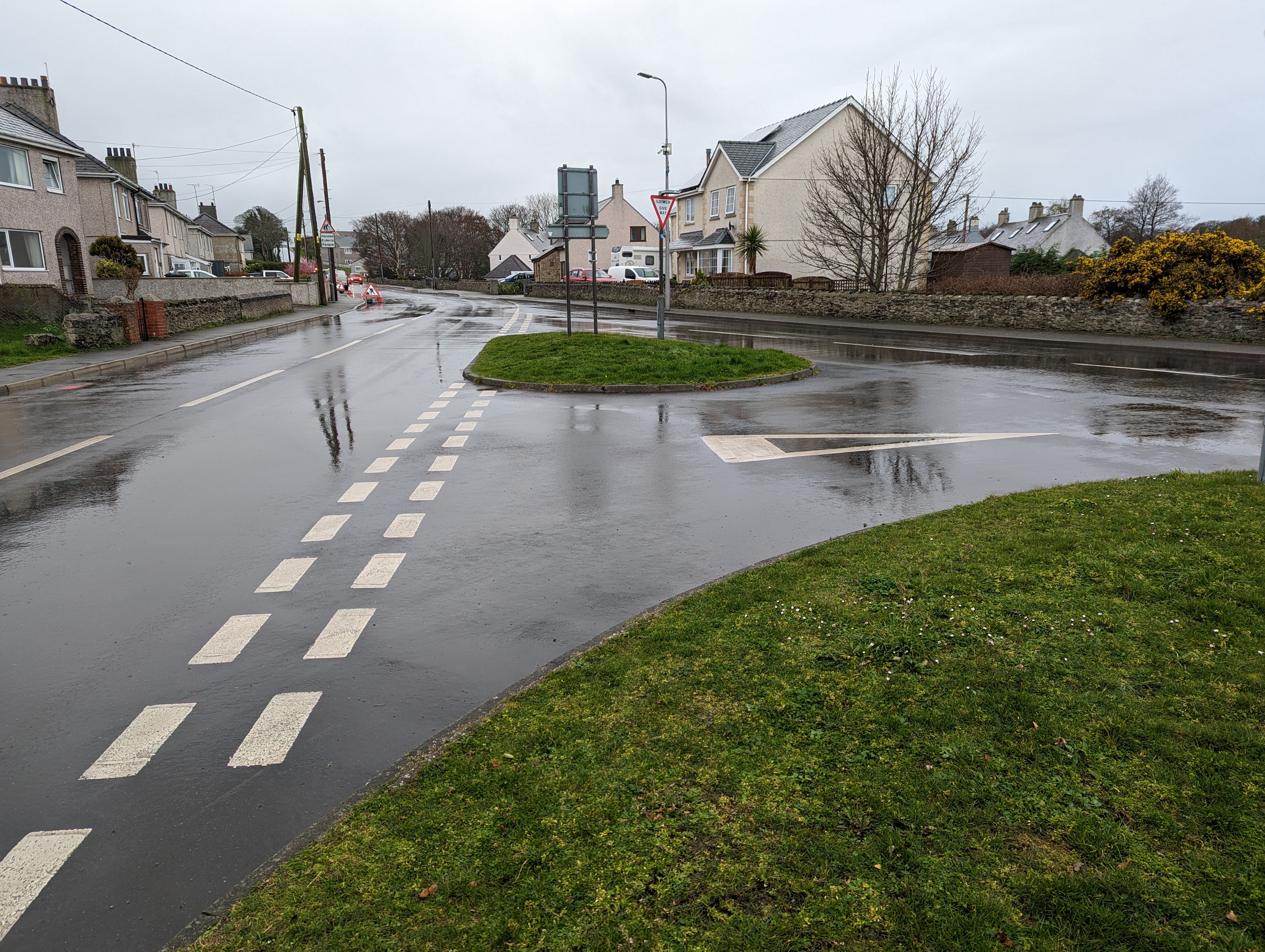
Corridor 4: Improvements to walking infrastructure and on-road cycling conditions along Madyn Road and Machine Street (towards Amlwch Port)
The emerging preferred option for this road is to improve on-road conditions to encourage an increase in cycle use within existing highway, and create a safer more attractive route for active travellers. This is done by:
- Introducing traffic calming measures to lower traffic speeds
- Amendments to road markings and signage to increase presence & priority of cyclists on the road; and
- Footway improvements, including provision of dropped kerbs & tactile paving to encourage walking;
General arrangement drawing illustrating the proposed active travel improvements along Madyn Road (via Machine Street) towards Amlwch Port.
Click below to view PDF for Corridor 4
Page break
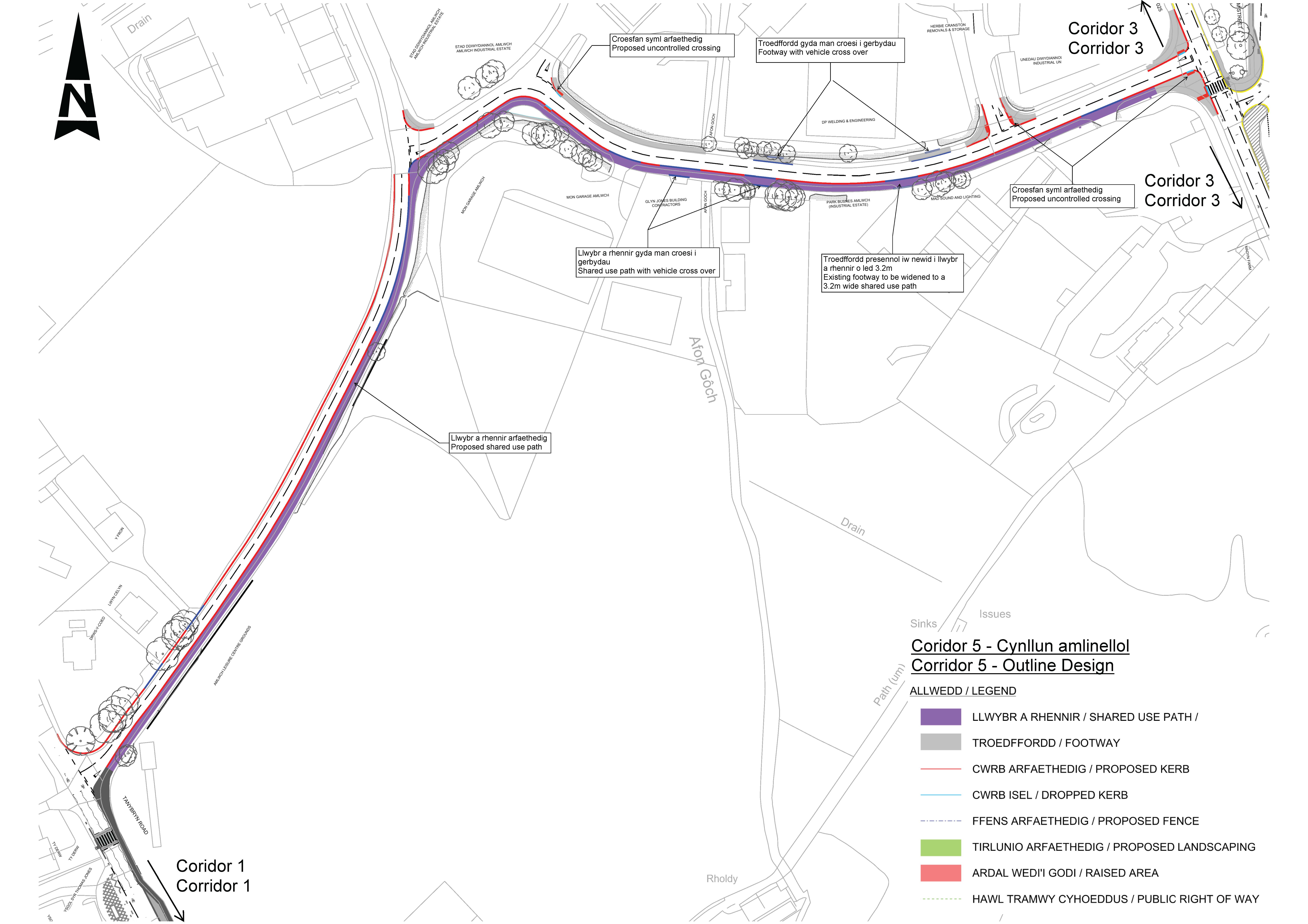
Corridor 5: Provision of a shared use path through the industrial estate, connecting Tanybryn Road to the A5025
The emerging preferred option for this road is to separate pedestrians and cyclists from motor traffic through the provision of a shared-use off-carriageway path. This is done by:
- reducing the width of the industrial estate access junction. This encourages lower vehicular speeds when entering and exiting the industrial estate, and narrows the crossing distance for those crossing the road;
- the provision of a 3m wide shared-use path along the entire corridor;
- Carriageway narrowing to 5.5m between Tanybryn Road and Industrial Estate which would reduce vehicular speeds; and
- Improving/widening the existing crossing connecting to Syr Thomas Jones Secondary School.
General arrangement drawing illustrating the proposed improvements along Corridor 5 (between the A5025 and Tanybryn Road via the Industrial Estate).
Click below to view PDF for Corridor 5